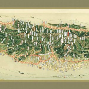
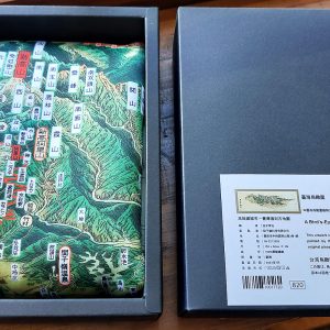
臺灣前後山全圖 地圖布
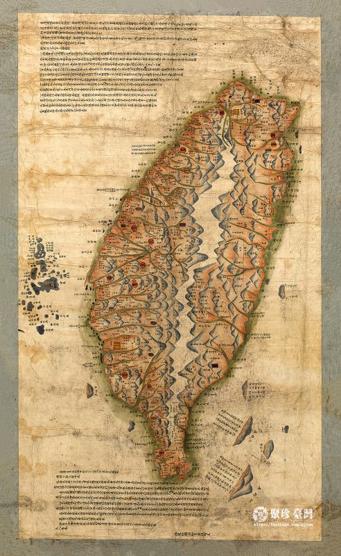
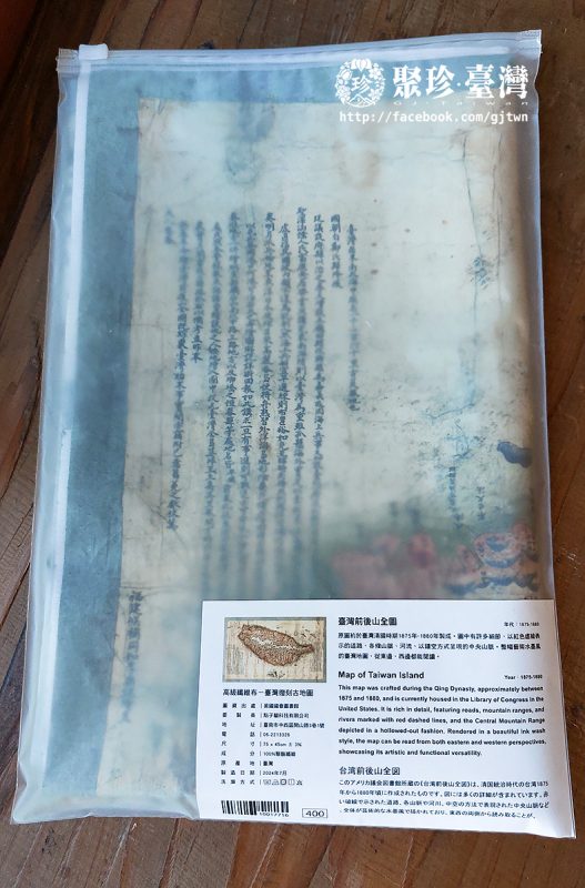
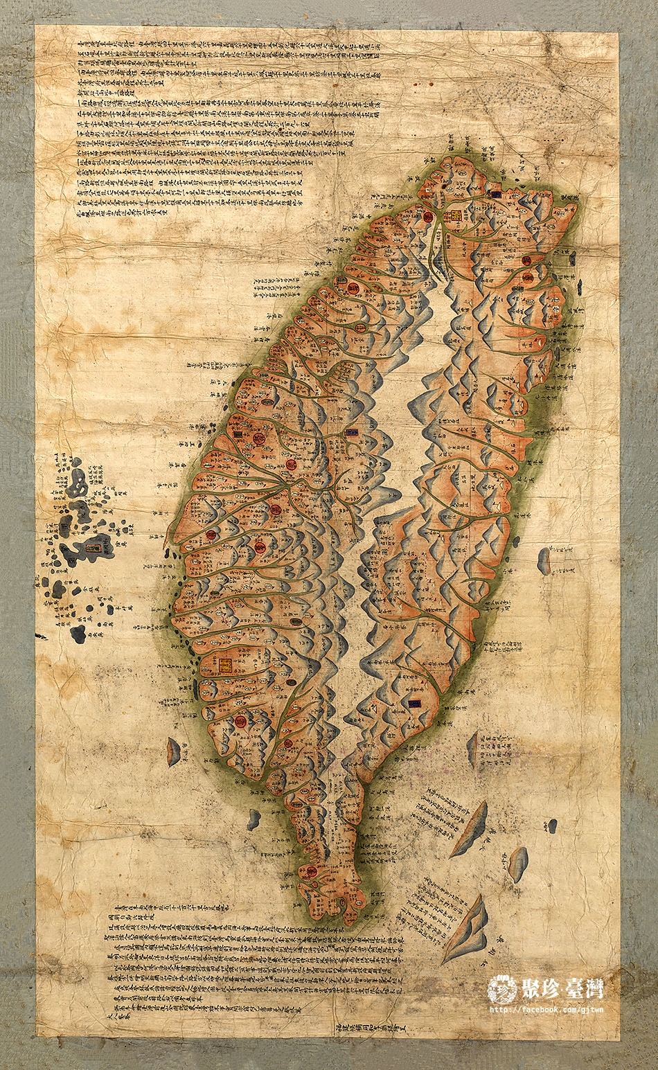
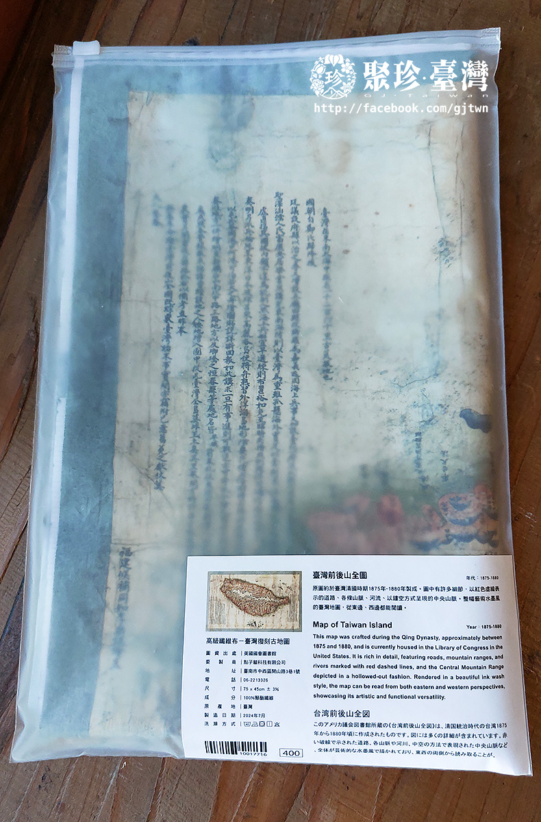
臺灣前後山全圖
美國國會圖書館典藏
年代:1875-1880
Map of Taiwan Island
The original map is currently housed at the Library of Congress, the United States.
Year: 1875-1880
台湾前後山全図
原図所蔵: アメリカ議会図書館
內容簡介
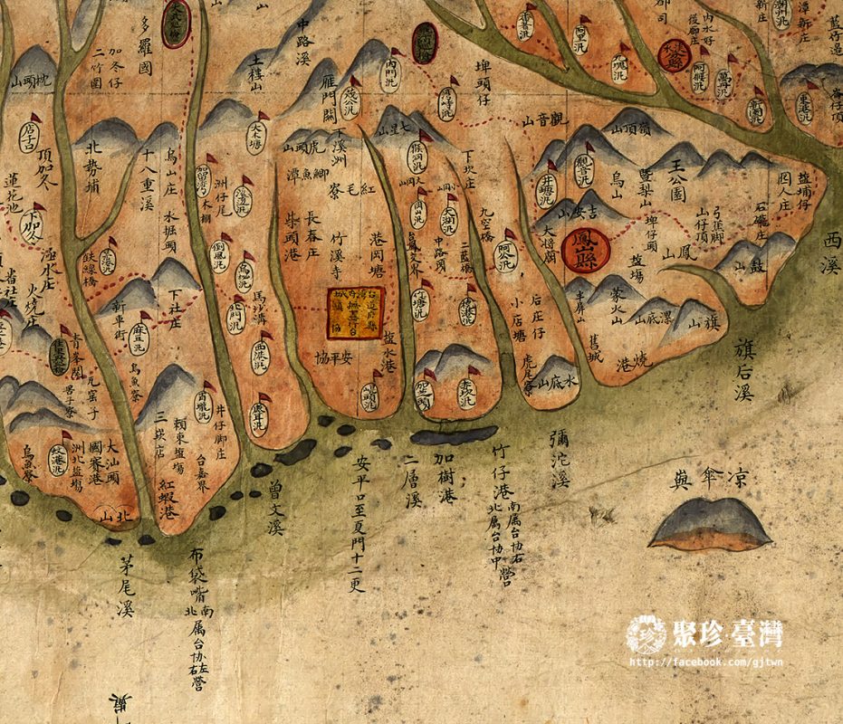
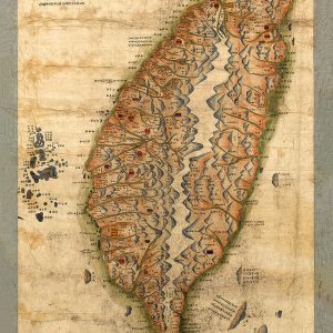
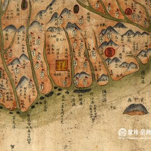
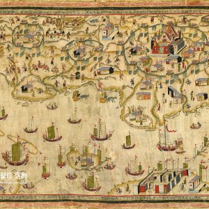
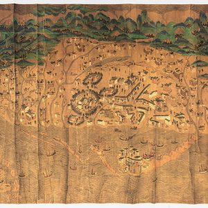
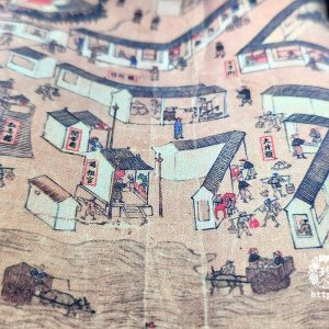
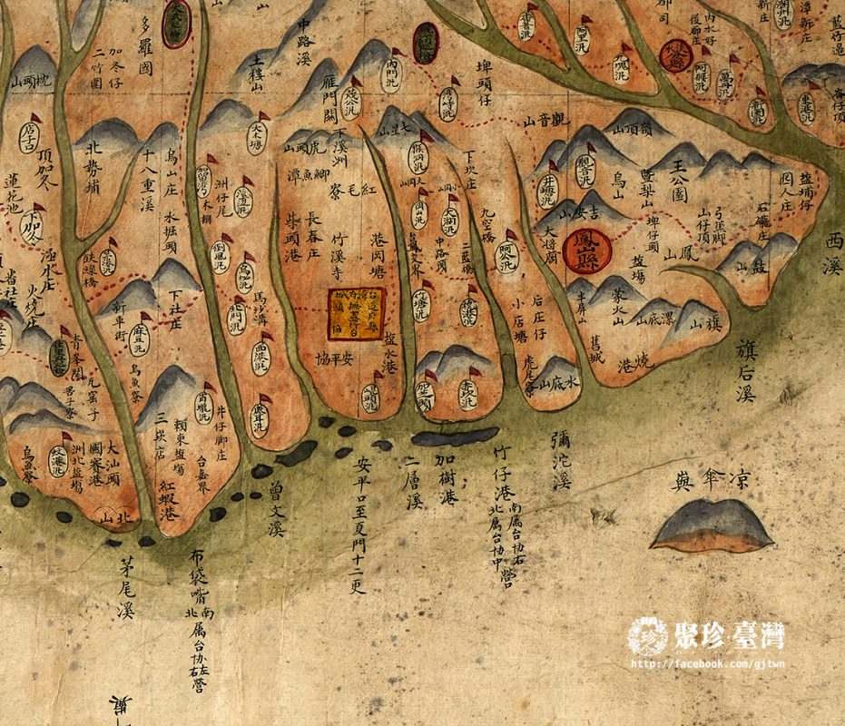
這幅由美國國會圖書館典藏的《臺灣前後山全圖》,原圖約於臺灣清國時期1875年~1880年製成。圖中有許多細節 – 以紅色虛線表示的道路、各條山脈、河流、以鏤空方式呈現的中央山脈。整幅藝術水墨風的臺灣地圖,從東邊、西邊都能閱讀。
This map was crafted during the Qing Dynasty, approximately between 1875 and 1880, and is currently housed in the Library of Congress in the United States. It is rich in detail, featuring roads, mountain ranges, and rivers marked with red dashed lines, and the Central Mountain Range depicted in a hollowed-out fashion. Rendered in a beautiful ink wash style, the map can be read from both eastern and western perspectives, showcasing its artistic and functional versatility.
このアメリカ議会図書館所蔵の《台湾前後山全図》は、清国統治時代の台湾1875年から1880年頃に作成されたものです。図には多くの詳細が含まれています。赤い破線で示された道路、各山脈や河川、中空の方法で表現された中央山脈など、全体が芸術的な水墨風で描かれており、東西の両側から読み取ることが
產地:臺灣
製造日期:2024-07
材質:100%聚酯纖維
尺寸:75 x 60cm ± 3%
相關商品
文化小物
文化小物
文化小物

