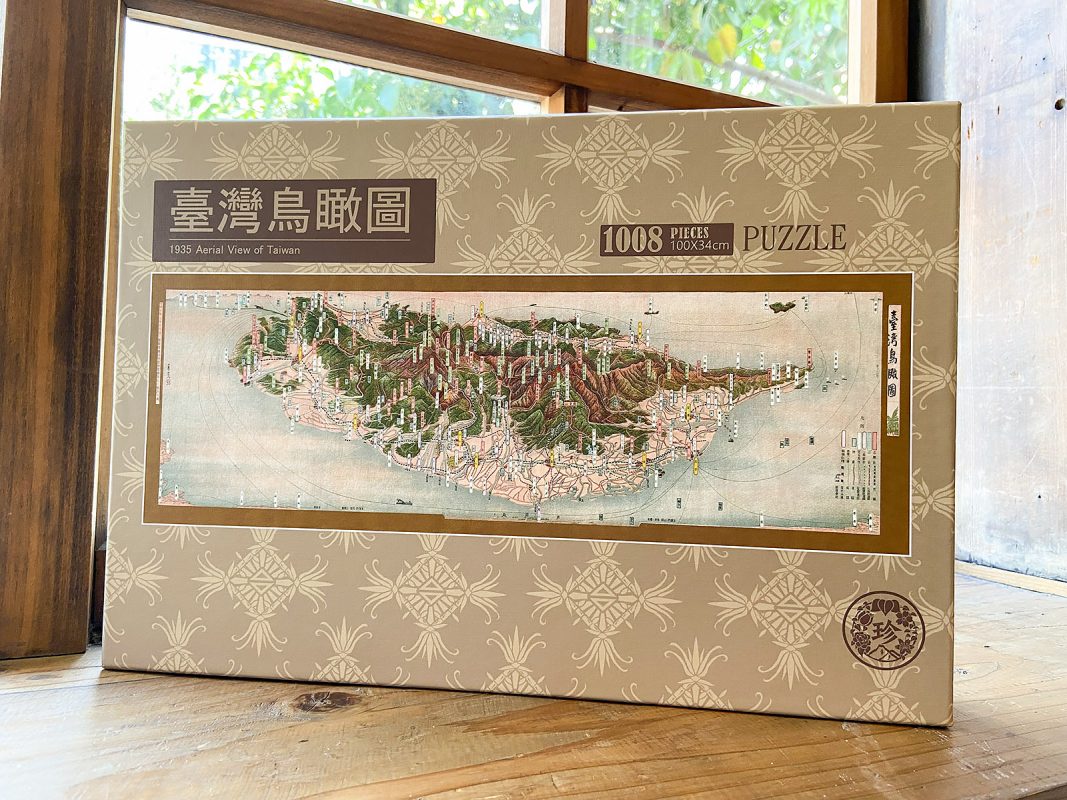
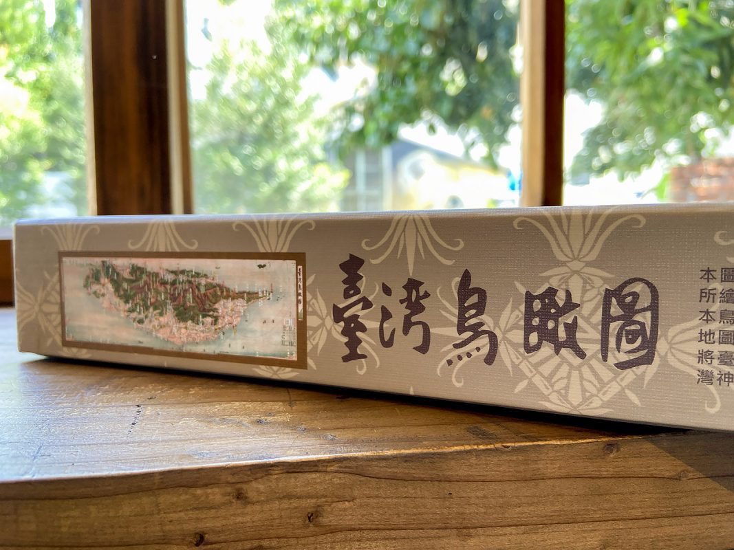
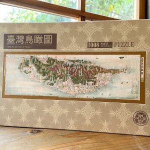
〈臺灣鳥瞰圖〉1008片拼圖
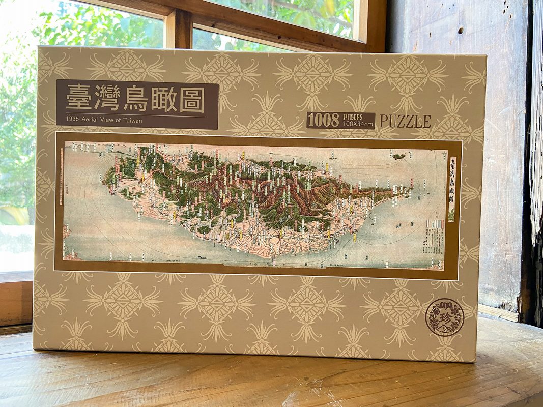
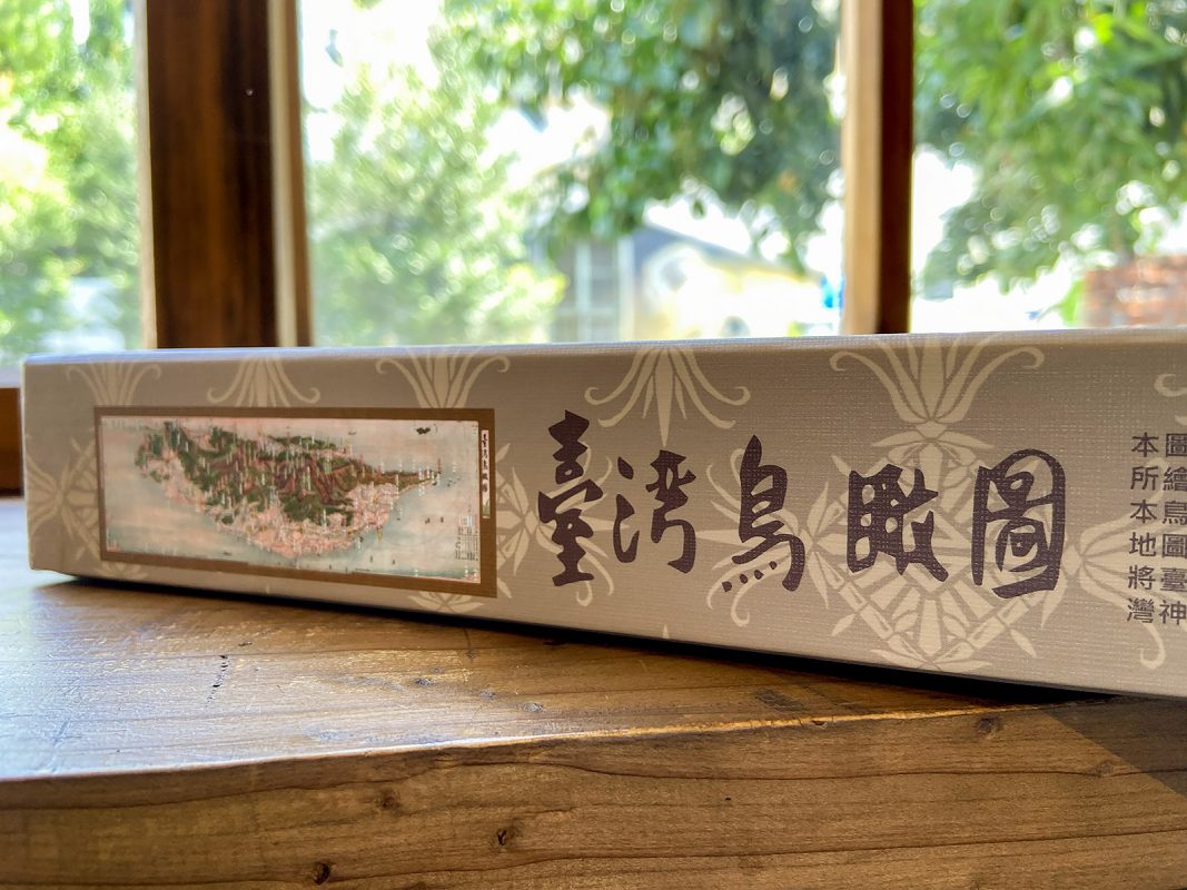
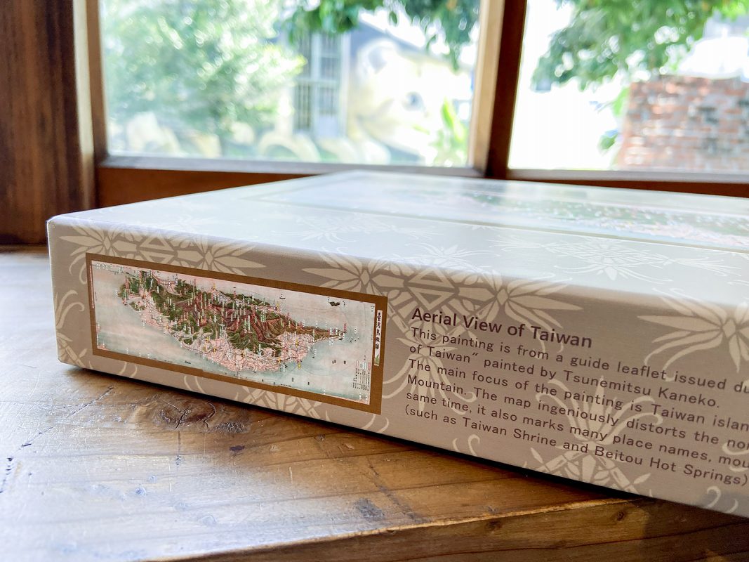
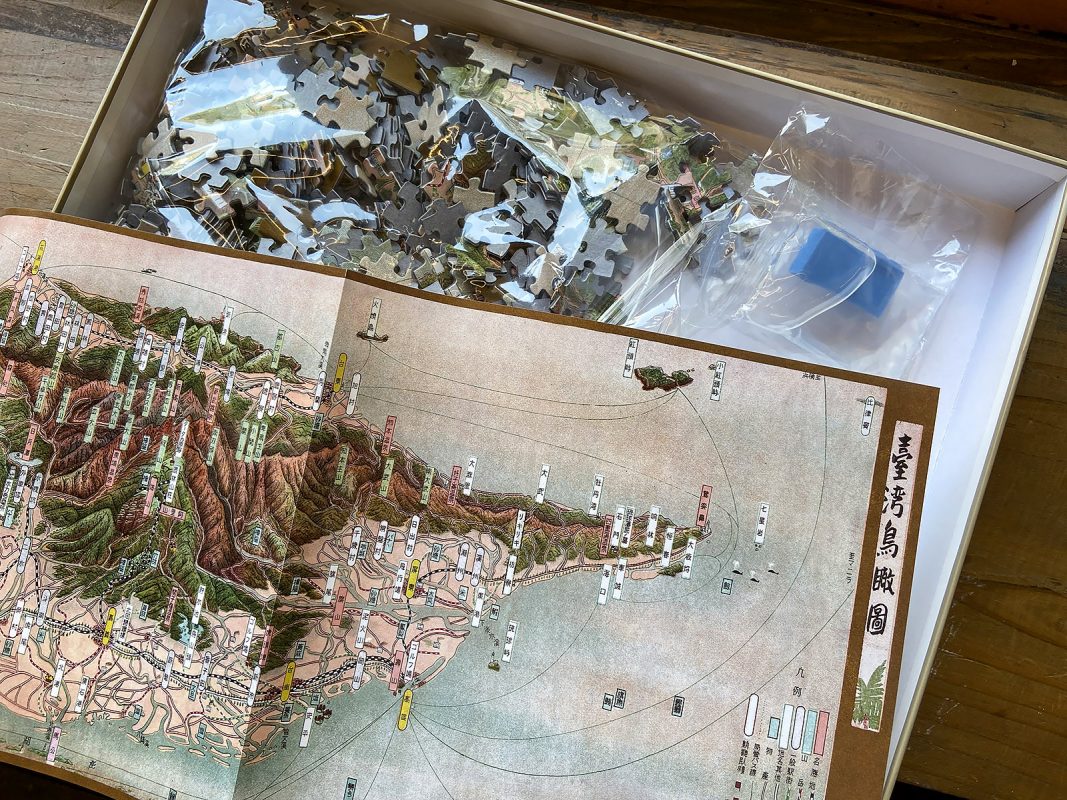
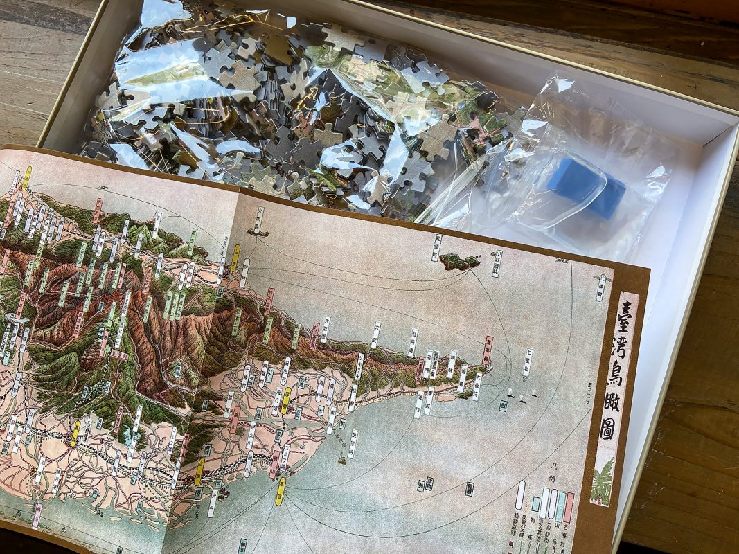
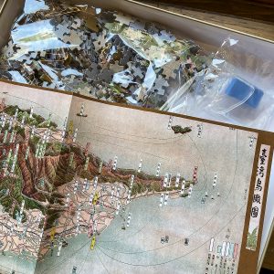
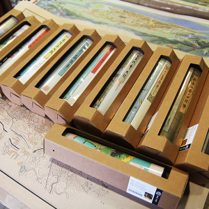
每盒皆附贈〈臺灣鳥瞰圖〉一張
商品簡介
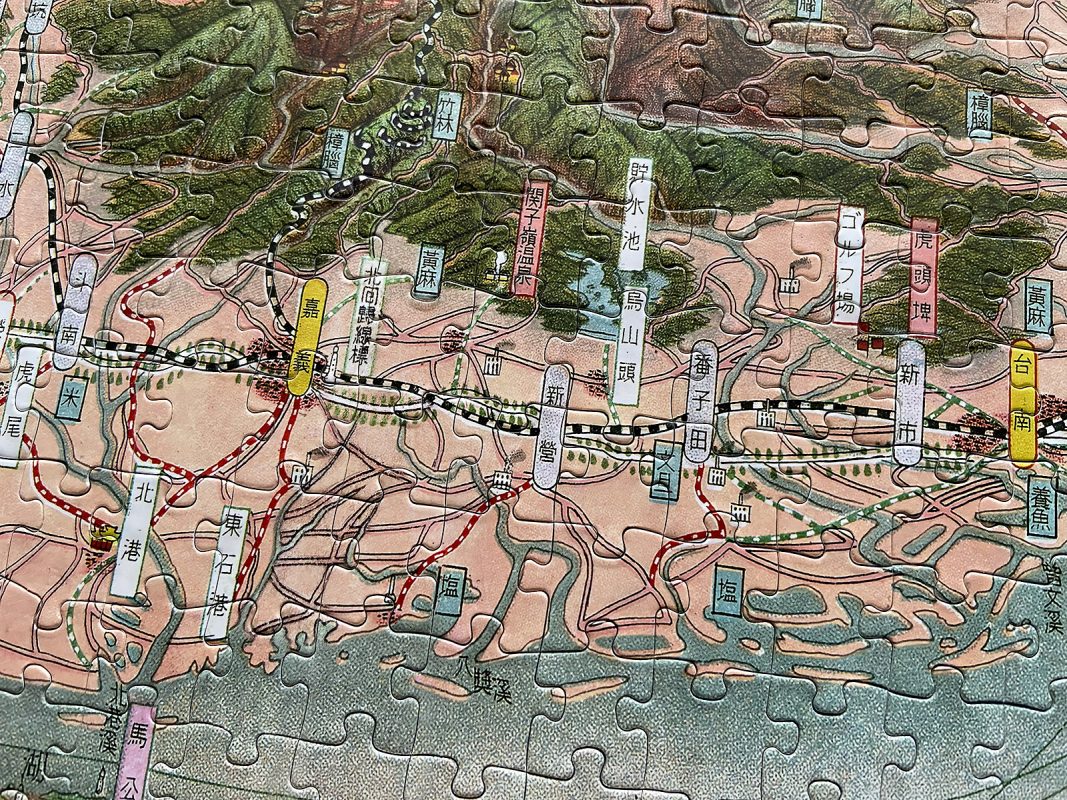
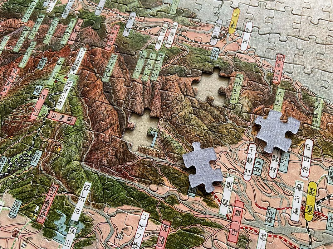
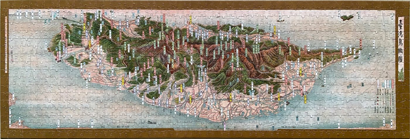
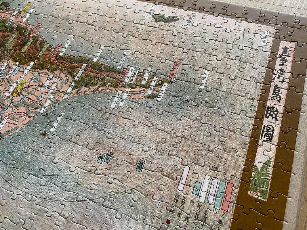
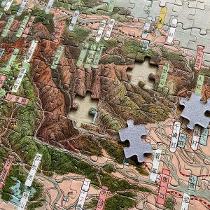
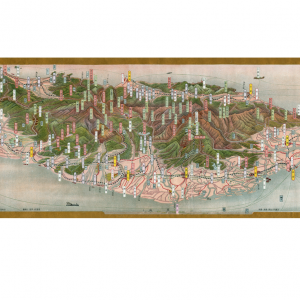
本圖出自1935年臺灣博覽會期間發行之導覽折頁,正面為金子常光所繪的《臺灣鳥瞰圖》,並有昭和10年7月16日基隆要塞司令部檢定等字樣。原件背面是「臺灣大觀」為名的臺灣風光、文化、產業…等介紹,以及貿易統計資料。
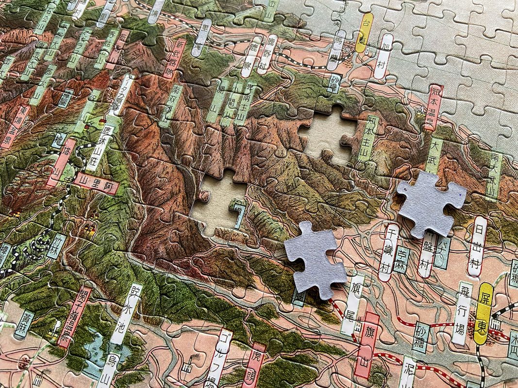
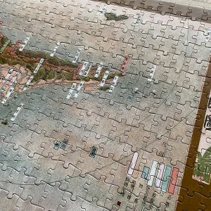
本鳥瞰圖主體為臺灣島,觀者由臺灣海峽往中央山脈方向望去,地圖經巧妙變形讓東北方出現沖繩、神戶、東京等地點;同時也將臺灣許多地名、山脈、河川、交通路線、產業及風景名勝(臺灣神社、北投溫泉等)標註於圖面。
The painting “Aerial View of Taiwan” by Tsunemitsu Kaneko, dated July 16, 1935, features an inscription indicating Keelung Fortress Inspection. On the reverse side of the original document, there is an accompanying introduction titled “Taiwan Grand View,” providing introductions to Taiwan’s scenery, culture, and industry, along with trade statistics.
The main focus of the painting is Taiwan main island, depicted from the perspective of the Taiwan Strait towards the Central Mountain Range, thus presenting a west-to-east orientation. Notable locations such as Okinawa, Kobe, and Tokyo appear in the northeast, albeit with significant distortion. Also, the map includes numerous place names, mountains, rivers, transportation routes, industries, and scenic spots in Taiwan, such as Taiwan Shinto Shrine and Beitou Hot Springs. These elements collectively contribute to the comprehensive depiction of Taiwan’s geographical features and cultural landmarks of that period.
金子常光の描いた『台湾鳥瞰図』には昭和10年(1935年)7月16日基隆要塞司令部許可済の印字があります。原本の裏には「台湾大観」を題名とした台湾の風土や文化、産業などの紹介文と貿易に関する統計データがありました。
本製品は台湾島を台湾海峡の方角から中央山脈の方向、すなわち西から東へ見た鳥瞰図です。北東に沖縄、神戸、東京などの場所が見えて、歪みが若干大きいです。一方、図面には台湾の地名や山脈、河川、交通ルート、産業及び名所(台湾神社や北投温泉など)が標記されています。
商品資訊
〈臺灣鳥瞰圖〉拼圖1008片
材質:紙
外盒尺寸:38 x 26 x 5 公分
拼圖尺寸:100 x 34 公分
圖像授權:陳志銘(聚珍臺灣修復)
適用年齡:3歲以上
內含1008片拼圖、膠水、〈臺灣鳥瞰圖〉一張
相關商品
鳥瞰圖
鳥瞰圖
鳥瞰圖


臺灣鳥瞰圖文字介紹-受保護的檢視-Word-300x300.jpg)
